Summit #6
Mt. Whitney, California 14,496.811' 8/5/06

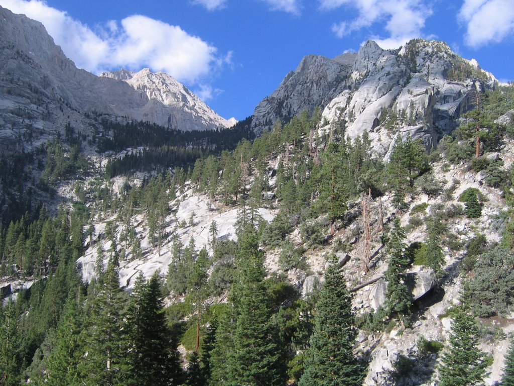
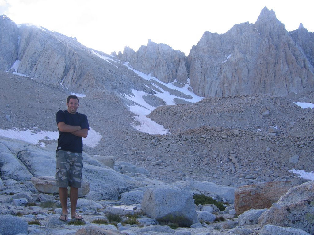
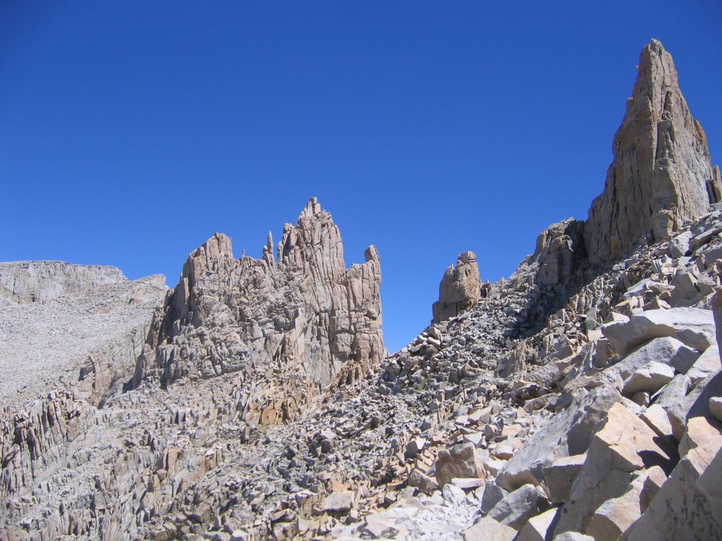
Mt. Whitney is not only the highpoint of California, it is also the highest peak in the lower 48 states. Although it is a long and strenuous hike, it is all done on a well-maintained trail and no technical climbing skills are required. It is also a very popular hike and normally requires a permit to climb during the peak season. However, I found that if you go by yourself it is no problem to get a permit. The weather for my hike was perfect. Clear and sunny in the low 60's with only occasional clouds. Nights however were a little cooler around freezing. Although many people are able to do this hike in a day, I am not one of those people. I chose to spend the night on the trail in order to acclimate. Regardless of a persons physical condition, altitude sickness is always possible and I didn't want to risk it. The best way to avoid it is a slow ascent and hydration. Both of which I did. I have to say that I felt great on this hike. No serious headaches or fatigue which I honestly was expecting to have based on past experiences. God really helped me out on this and kept me healthy and energetic. Not to say the hike wasn't very tiring though. The hike itself is about 22 miles roundtrip with an elevation gain of 6,750'. I camped at the trailhead Thursday night, hiked the 6 miles to Trail Camp on Friday, summited early Saturday morning and then hiked back to the truck Saturday afternoon. All in all a great trip that I definitely plan on doing again. I have alot of pics to show so this might end up being a long blog. Sorry.
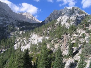
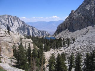
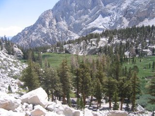
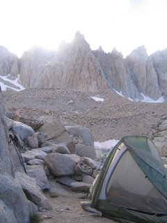
To try and save time I'm just going to list the captions here and you'll have to match them:
1) the peak from Owens Valley
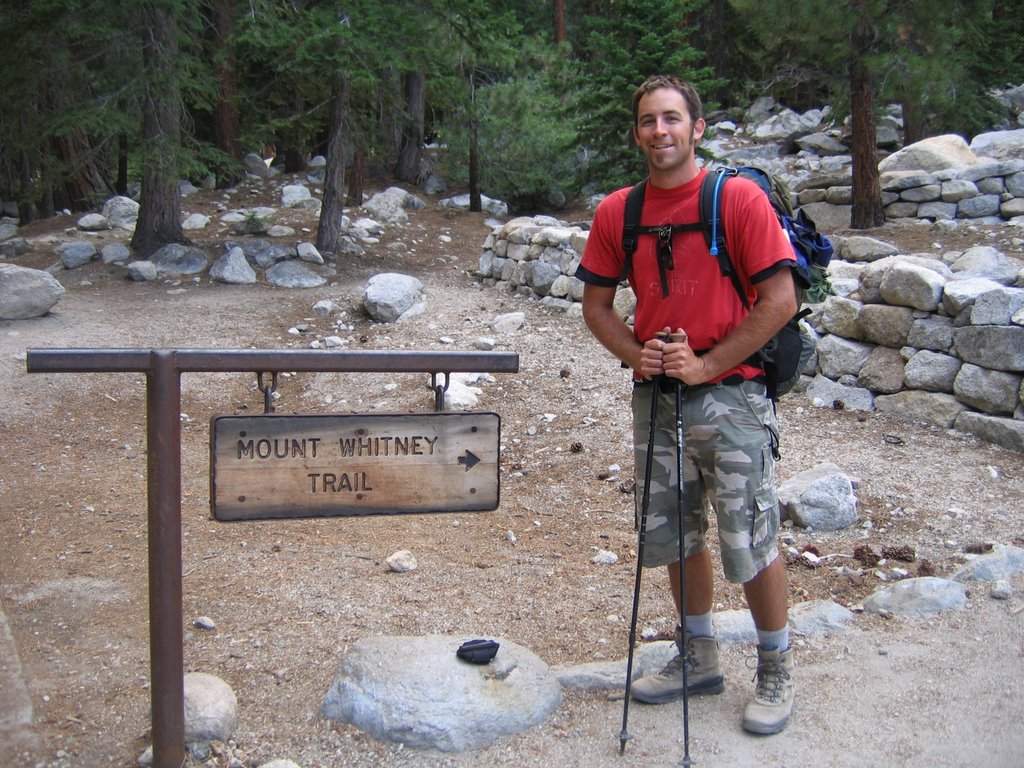
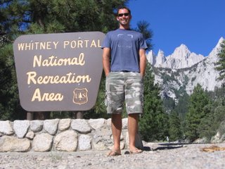
2) the Whitney Portal
3) looking up trail
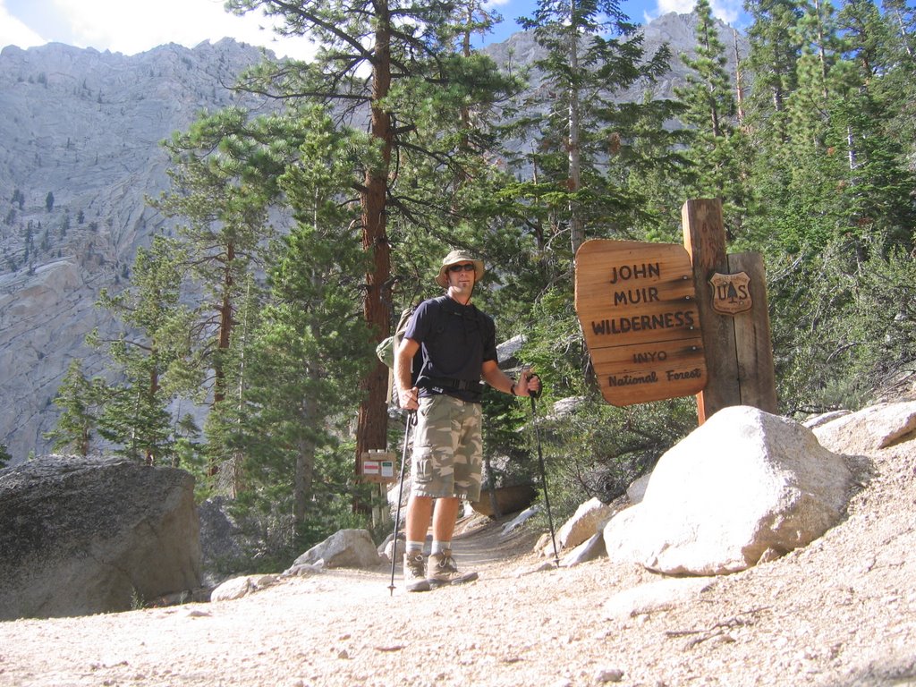
4) entering the John Muir Wilderness
5) looking down trail onto Lone Pine Lake
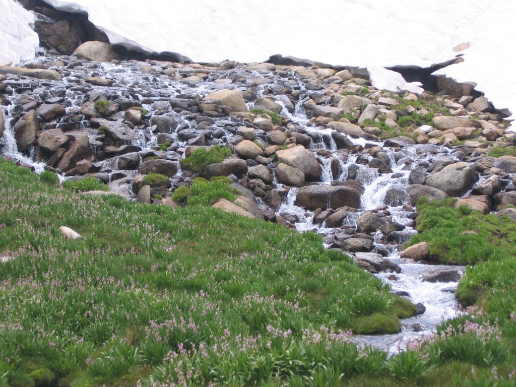
6) a waterfall
7) Bighorn Park
8) Mirror Lake
9) looking down on Bighorn Park
10) a stream
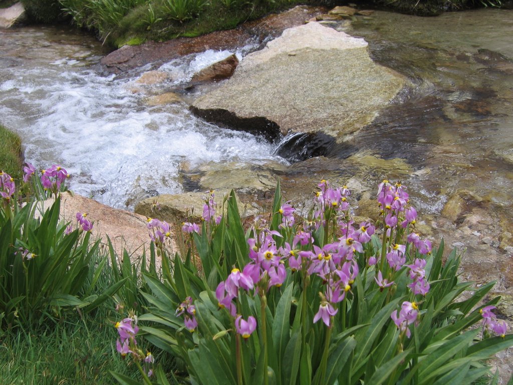
11) flowers and stream
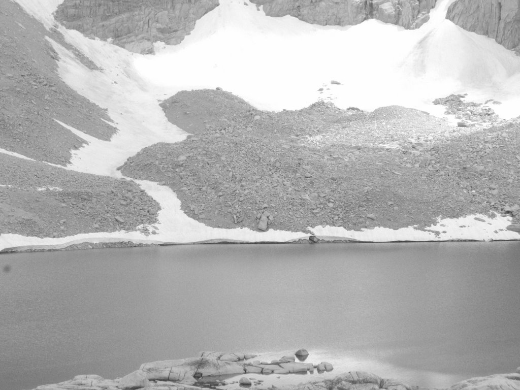
12) Consultation Lake
13) my campsite
14) Trail Camp
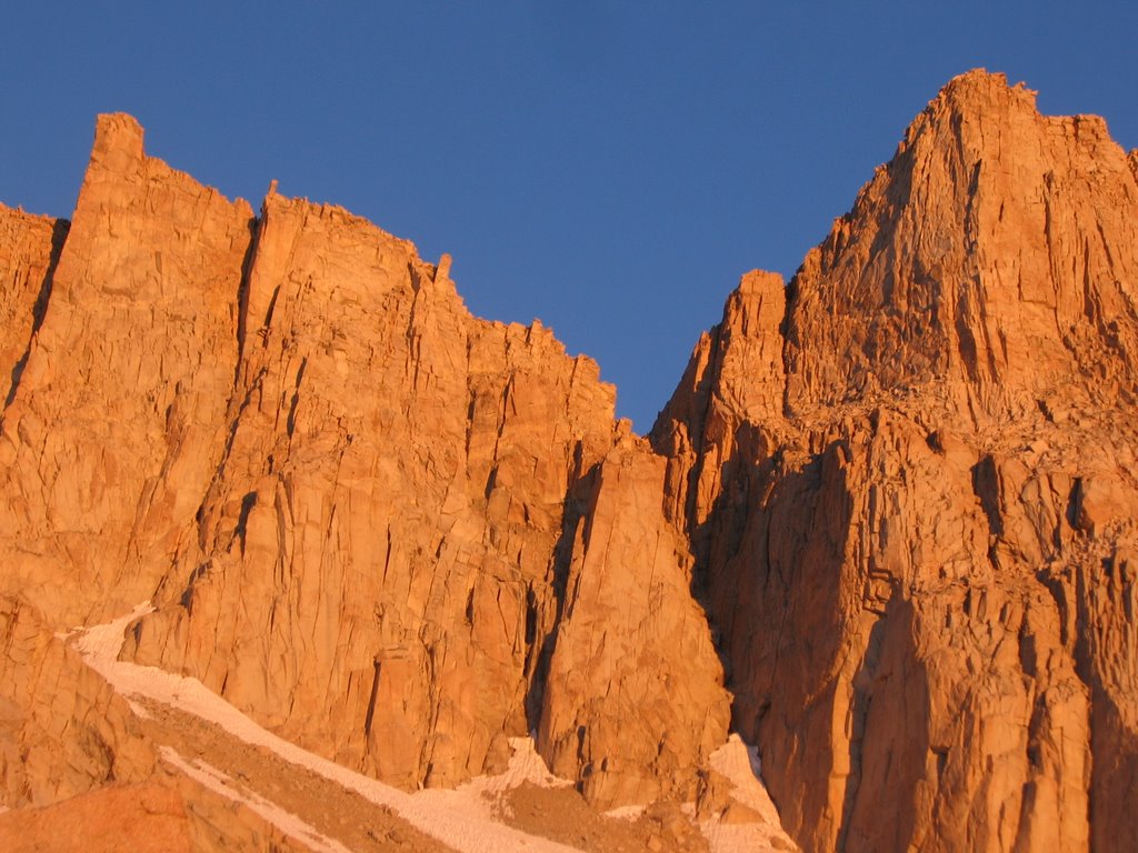
15) sundown
16) sundown
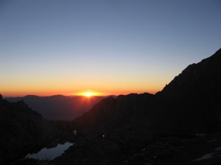
17) sunrise
18) sunrise
19) sunrise
20) on the trail to the summit
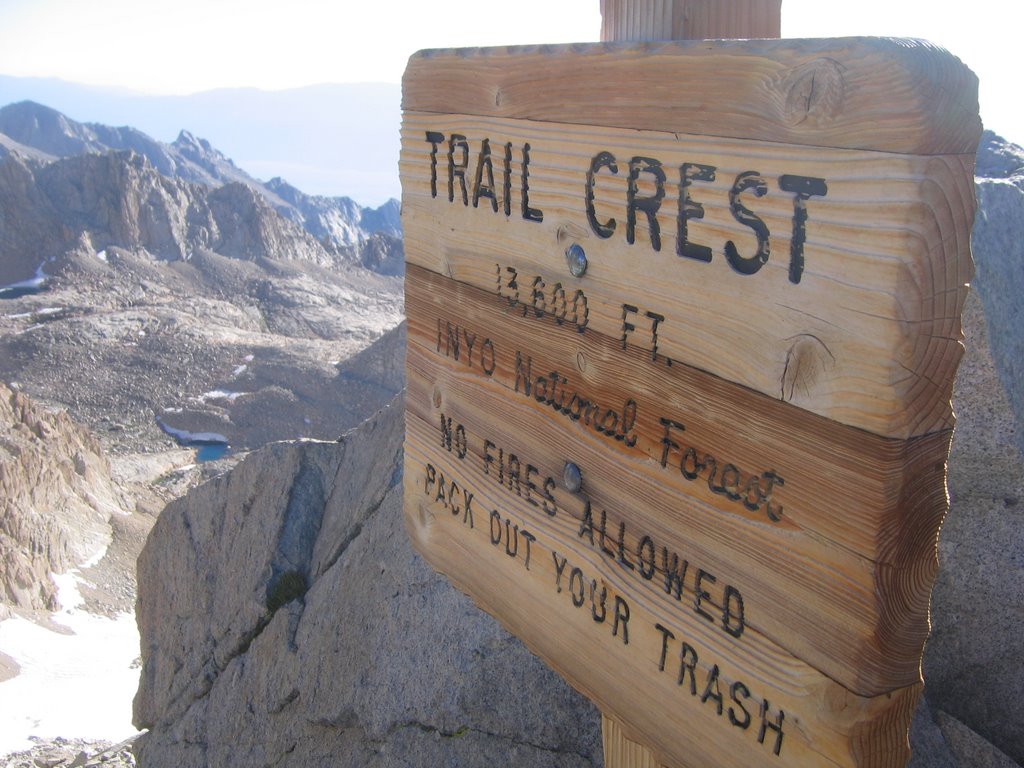
21) Trail Crest (2.5 miles to go)
22) on the trail to the summit
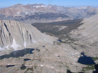
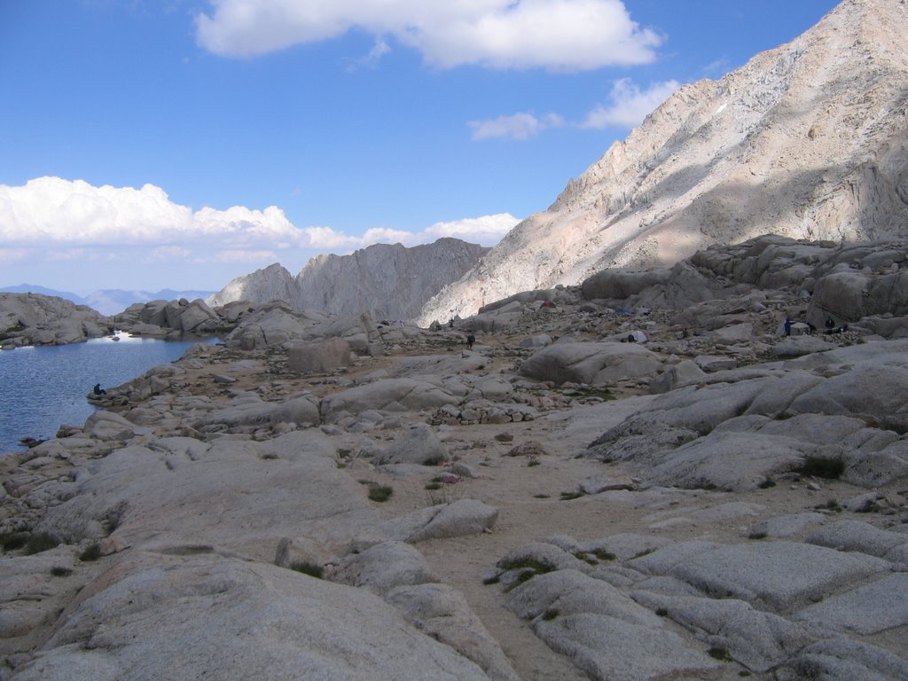
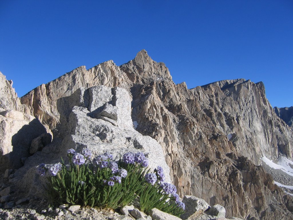
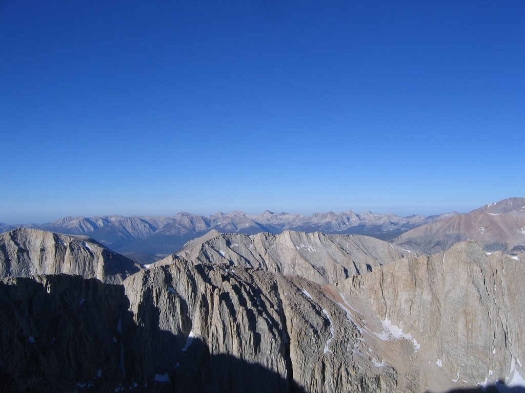
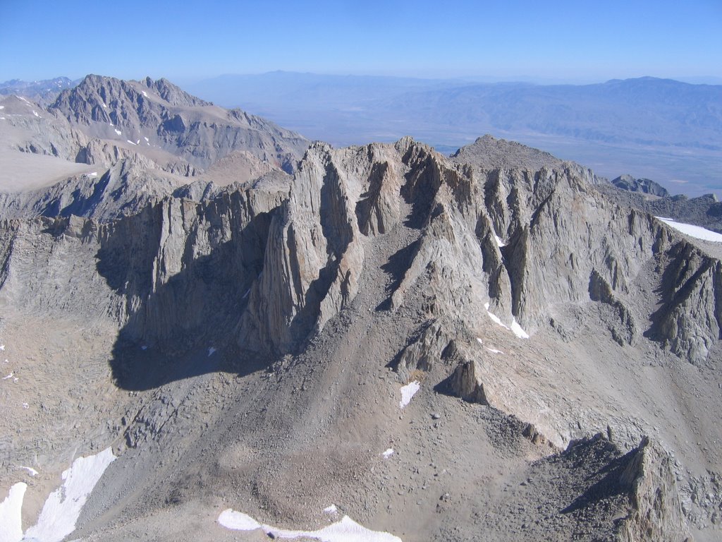
23) view west from the crest
24) view west from the crest
25) view west from the crest
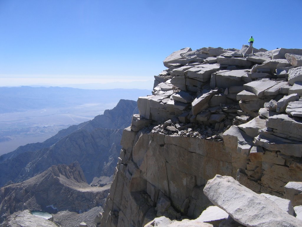
26) the summit
27) the summit
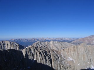
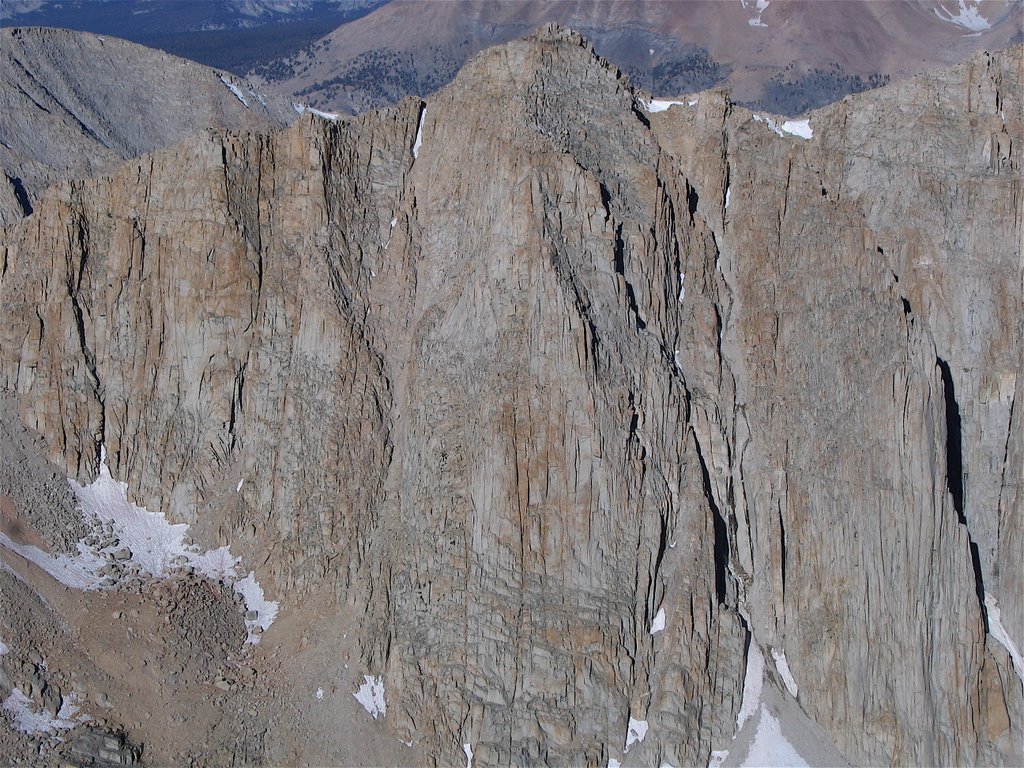
28) view north from the summit
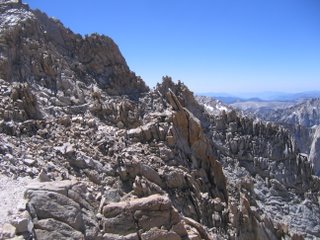
29) on the trail
30) on the trail
31) end of the road