The Black Hills Trip, Day 3 continued
So after my great hike I got back on the road. As usual on my trips, I had more goals than time and I needed to make it to North Dakota for the night. My next goal was, of course, ND's highpoint. I made a few more stops that day as I drove out of the Black Hills and into Rapid City (Taco Bell!!!), up through Sturgis, then back into the wide open Great Plains for the long drive to Bowman, ND. One of these stops was the Geographical Center of the 50 states which is about 32 miles north of nowhere and dramatically marked with a barely discernable red stick in the ground. It was definitely worth the extra 45 or so miles of dirt road travel. So I made it into ND after dark had a great nights sleep and awoke early to tackle the final "peak". Here's a few boring pics from the rest of Day 3. I'll start another post for Day 4.

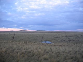
The Geographical Center. You can just make out the red stick in the distance.

The National Cemetery north of Rapid City.

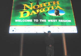
Not the least bit tired.

The Geographical Center. You can just make out the red stick in the distance.

The National Cemetery north of Rapid City.

Not the least bit tired.

1 Comments:
Great picture of the cemetery! I love these photo journals.
Post a Comment
<< Home